Disclaimer * | Inquiry Unlimited * | Looney * Lobster | USA timelines * | Westward Expansion *

Eureka! Inquiry Unlimited

Geography - Dewey 910


[a constantly changing URL database with content relevant to elementary school curricula]


Geography and Travel - Dewey 910


Geography is the study of the earth interacting with man often interpreted from a spatial interpretation which affects the economy and emphasizes location, place, regions, movement, and relationships.

The Domain of Geography


Location * exact location, relative location Place * Natural features, human features


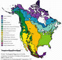
Regions * physical land features including mountains, hills, lowlands, coastal plains, plains, river valleys, salt marshes, swamps, beaches AND human characteristics including culture 
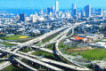
Movement * settlement patterns, trade, transportation of products and goods, movement of people [settling, vacationing], movement of ideas
Relationships * People and the land. People and the ecosystem. Mining and the land. Refuges and saving animals. Regional changes over time. 
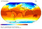
Map study * outline maps, regions of the world by continents, annual precipitation, climate regions, topographic maps, water resources, distance between cities
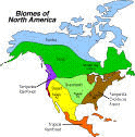
Climate zones * Frigid (tundra) , Temperate (grasslands, broadleaf deciduous), Tropical (broadleaf evergreen, rainforests, savannas) Land and landforms * Continents, islands (atolls, coral reefs), elevations (mountains, plateaus, hills, slopes), depressions (canyons, chasms, gorges, gulches, valleys, karsts), plane regions (pampas, plains, steppes, tundras), coastal regions and shorelines)
Vegetation regions * Forests, grasslands, deserts, swamps, marshes Air Water * Atmosphere (precipitation; air temperature); oceans and seas, rivers; ponds; estuaries
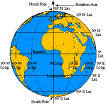
Hemispheres * Northern, southern, eastern, western Map reading * Map scales, symbols, abbreviations (topographic map symbols, prime meridian line, latitude, longitude, census address, population, water symbols)
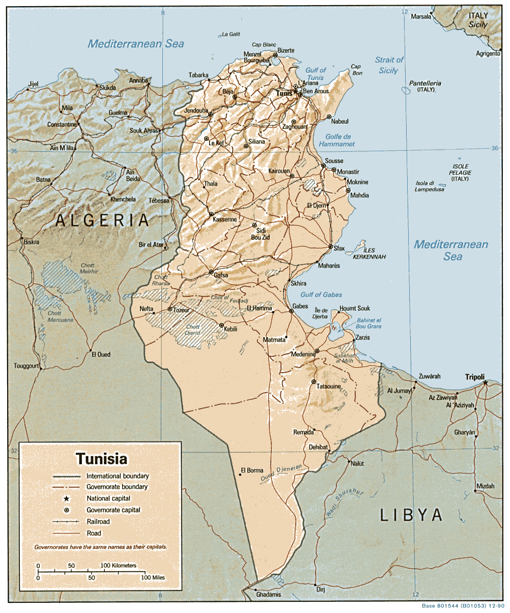
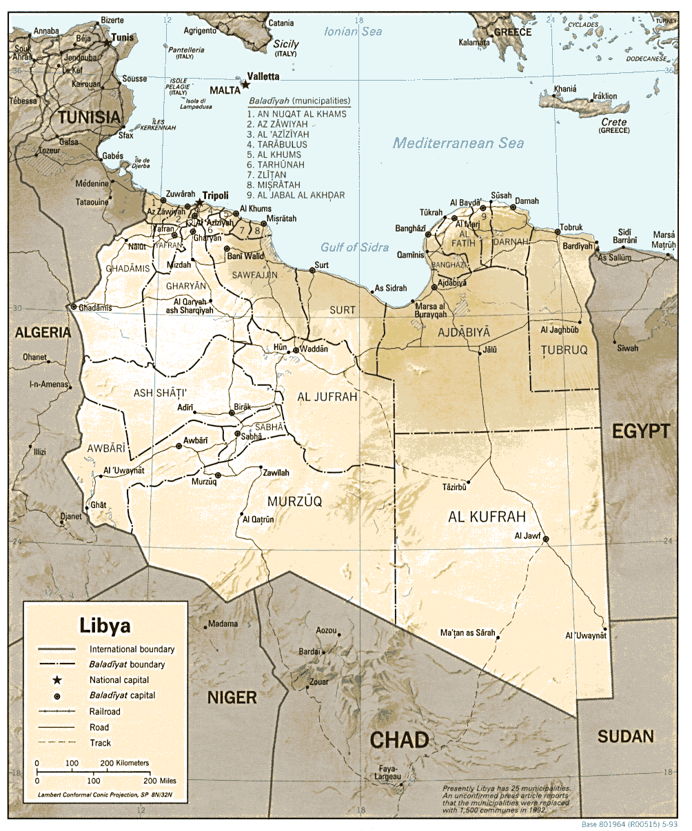
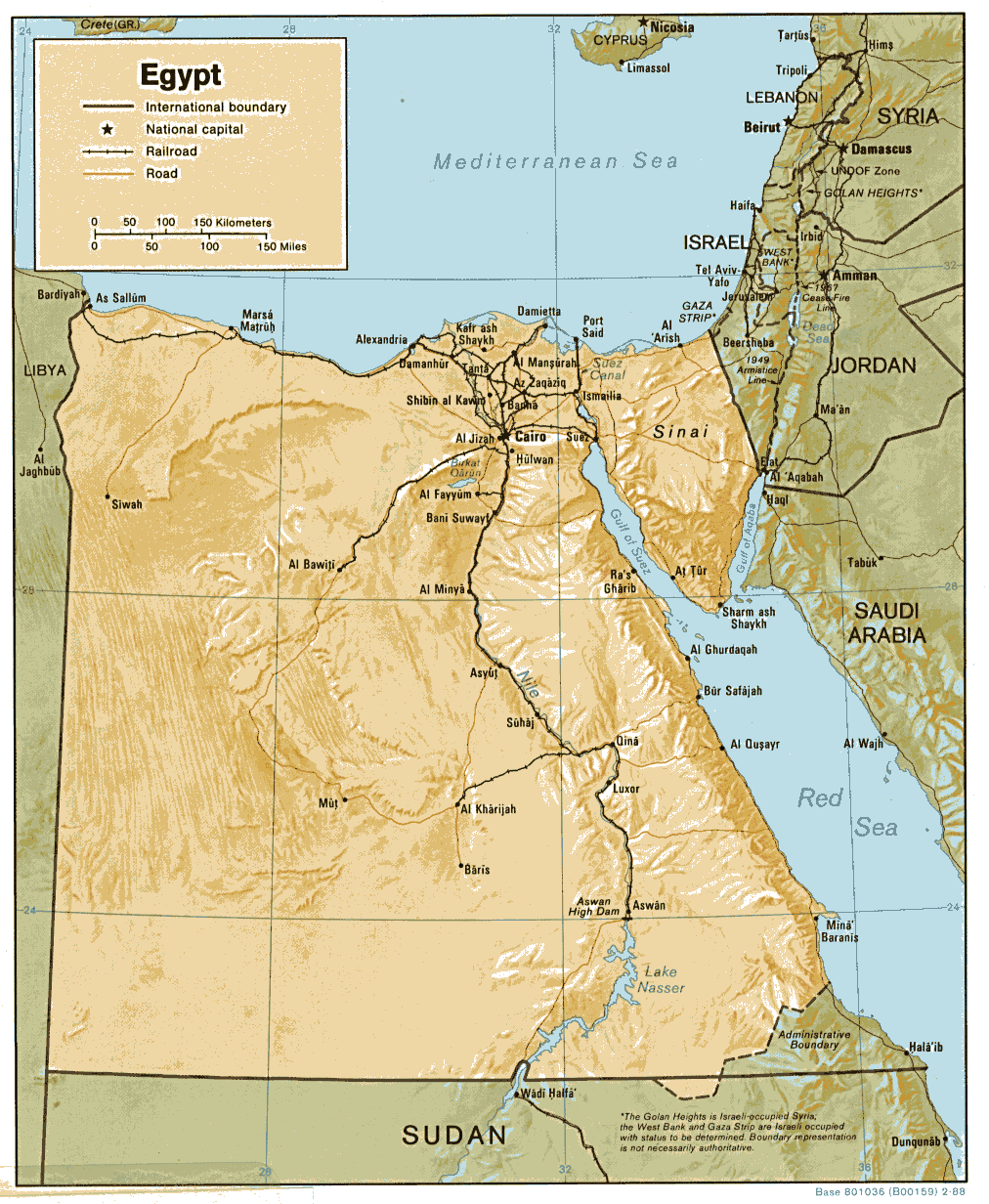
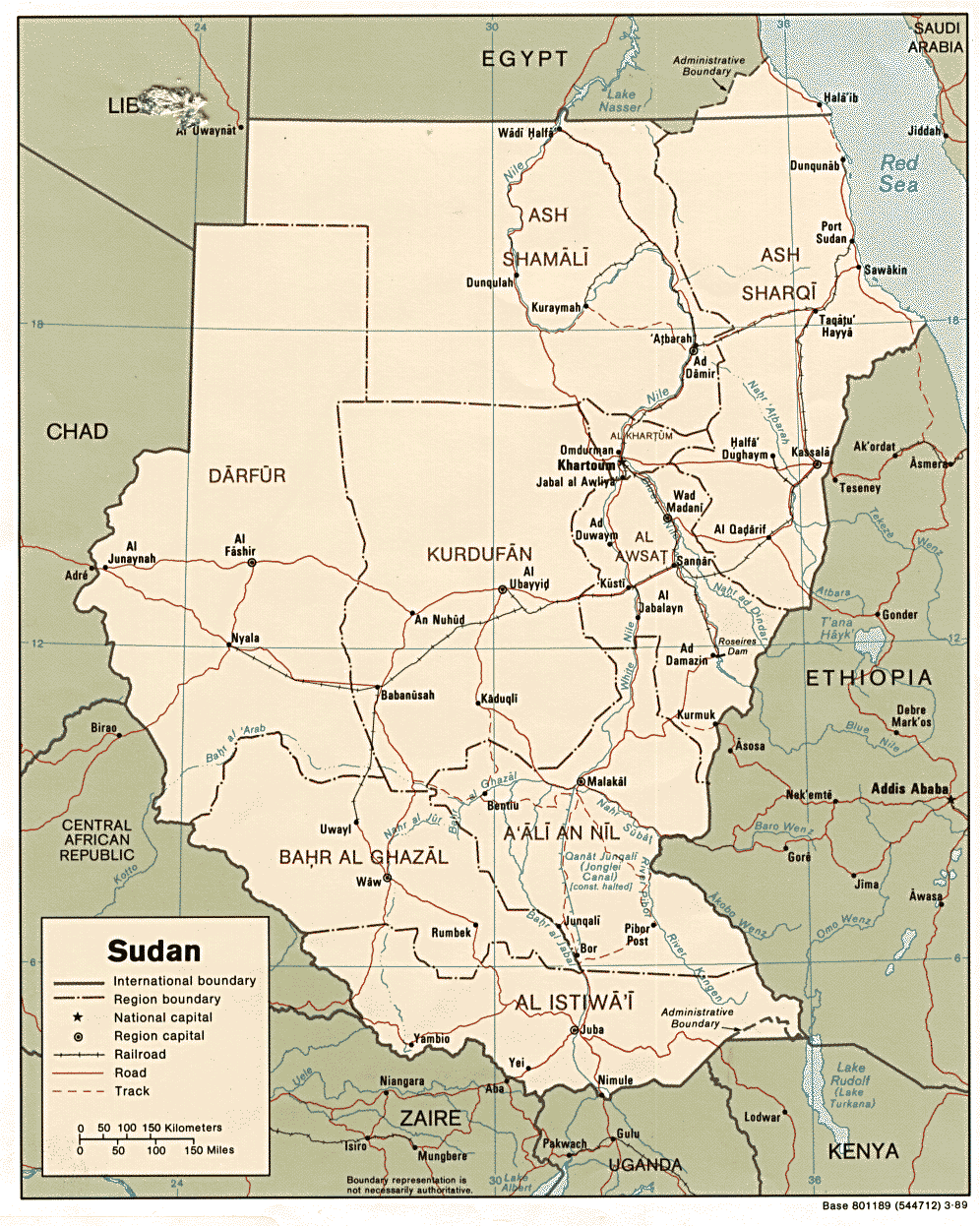
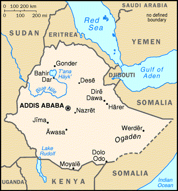
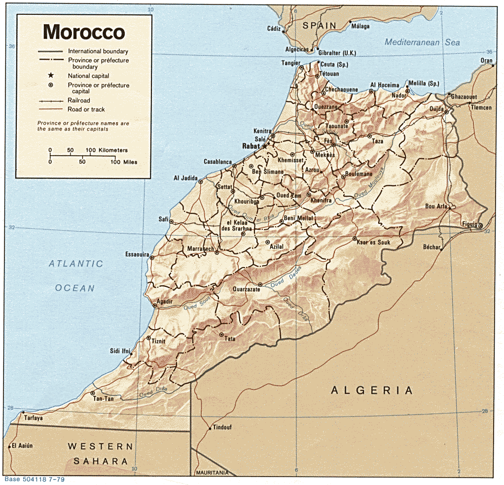
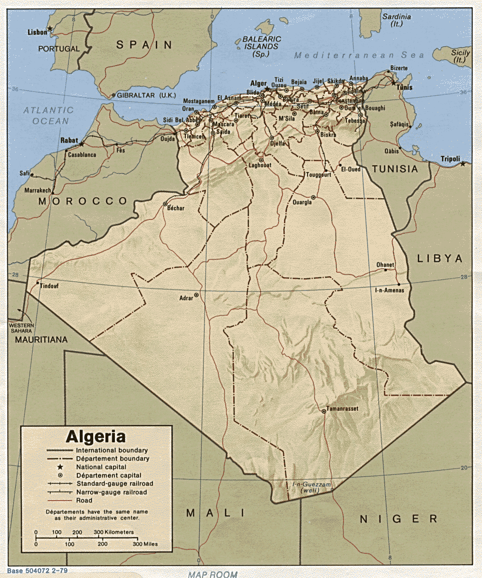
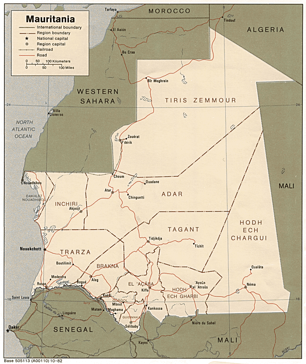
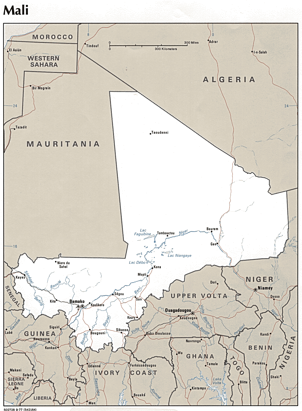
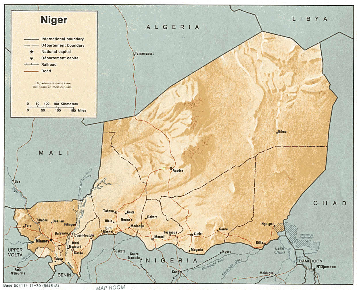
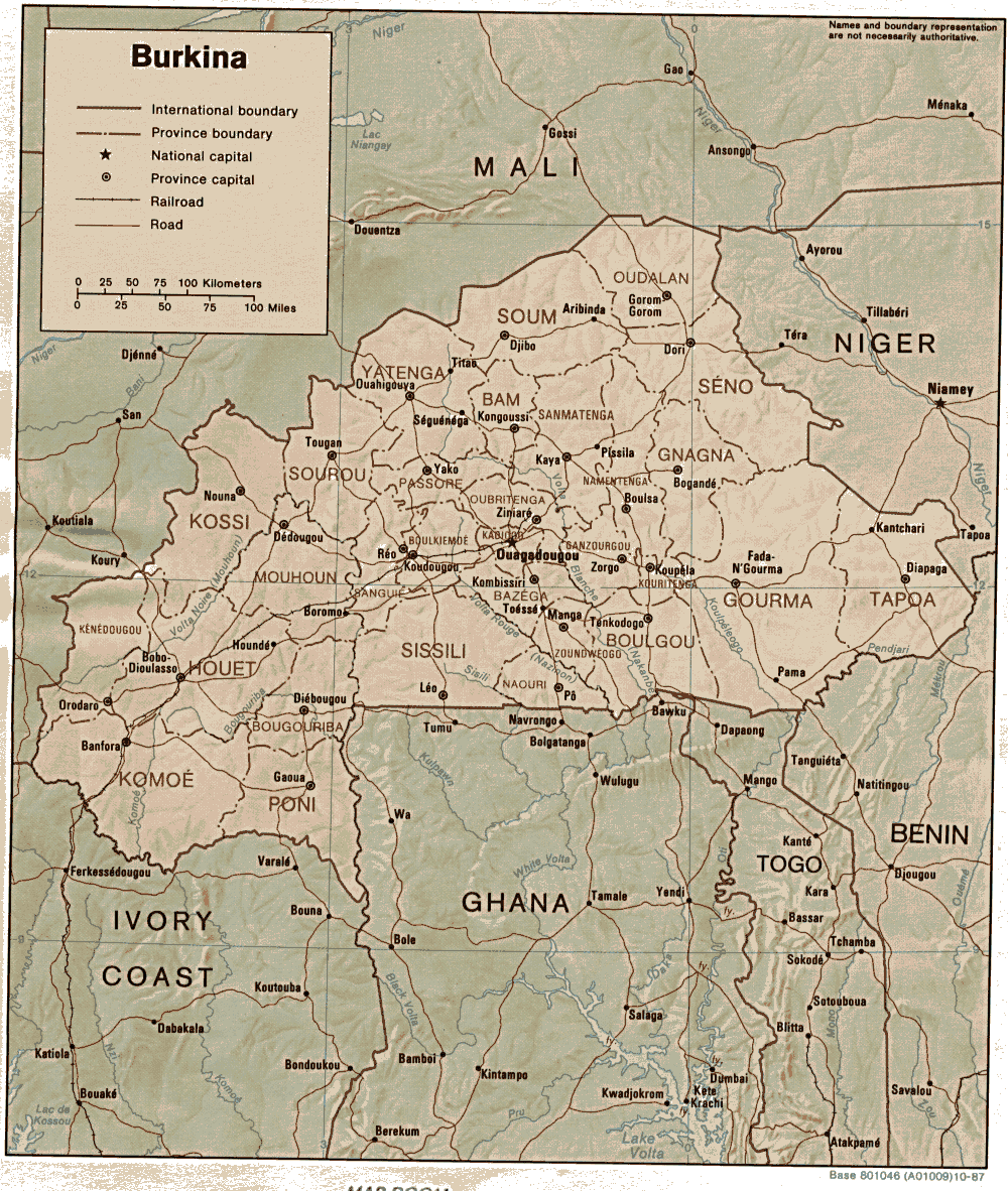
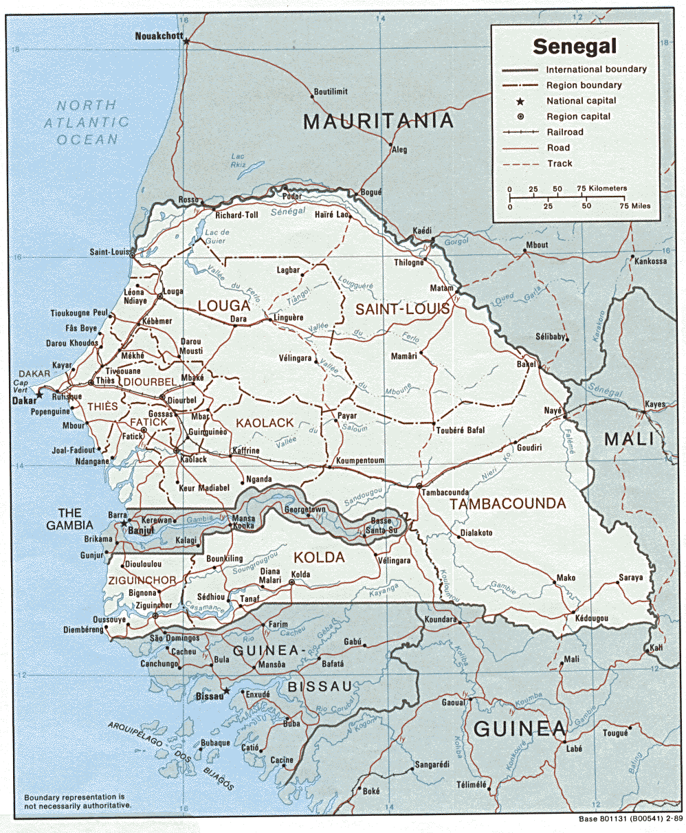
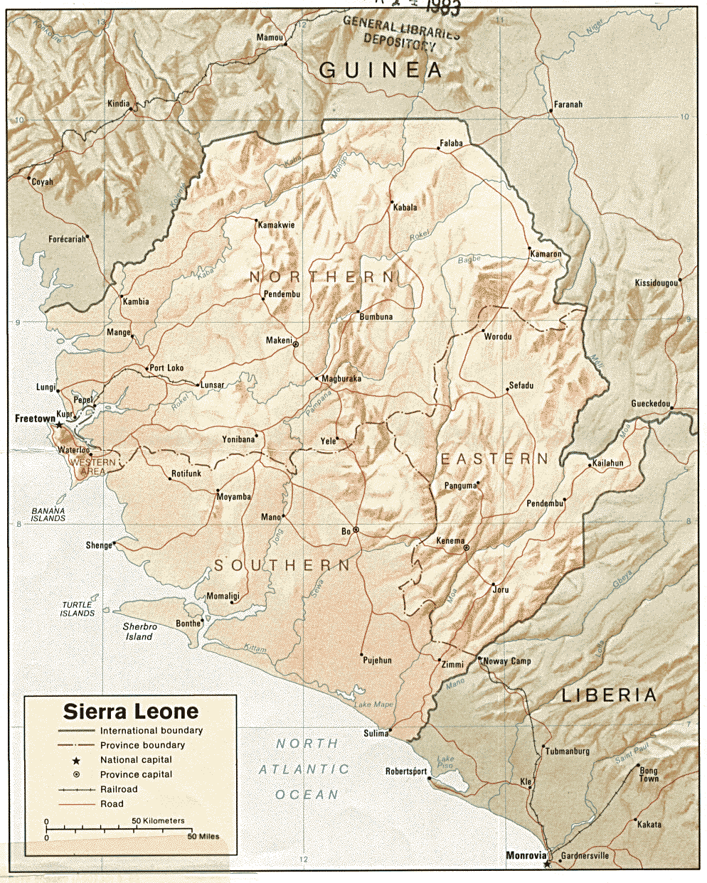
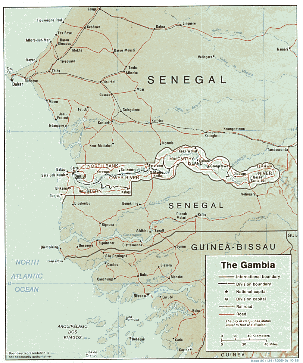
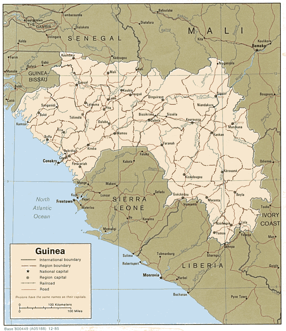
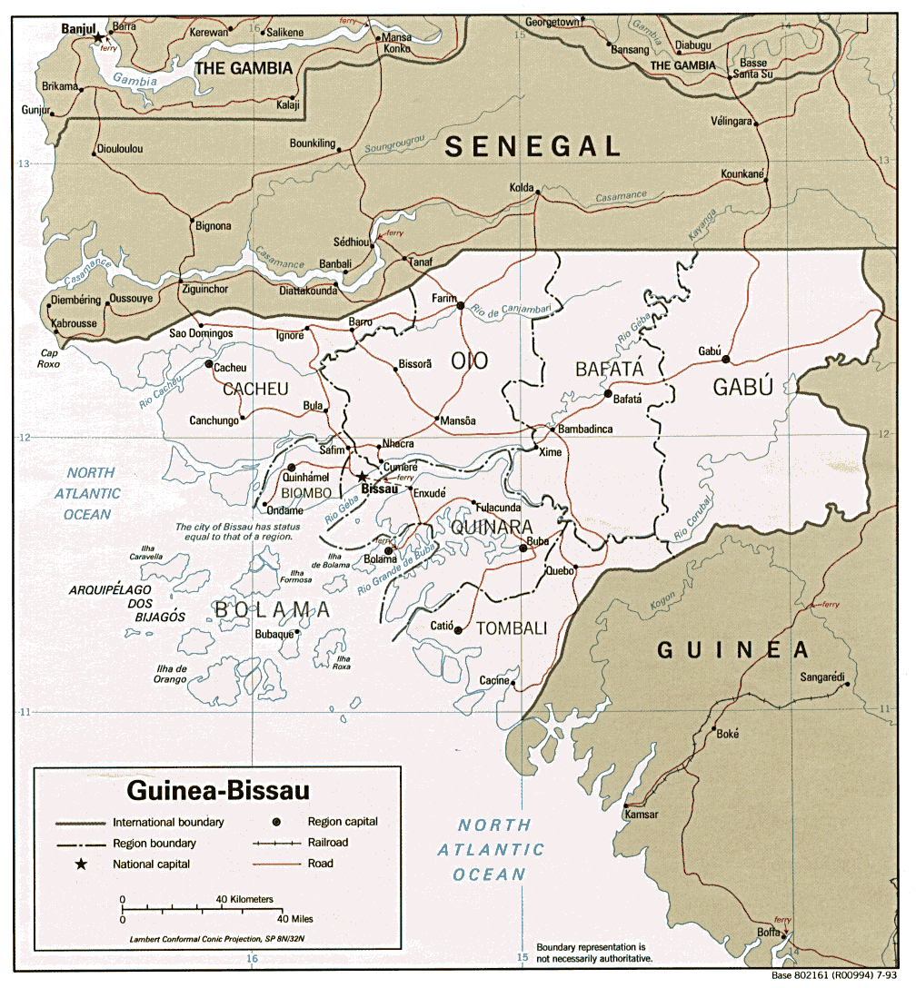
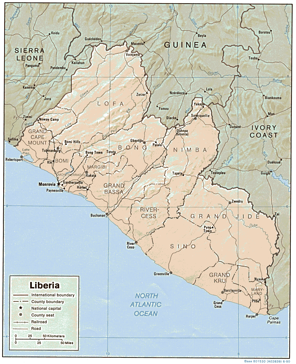
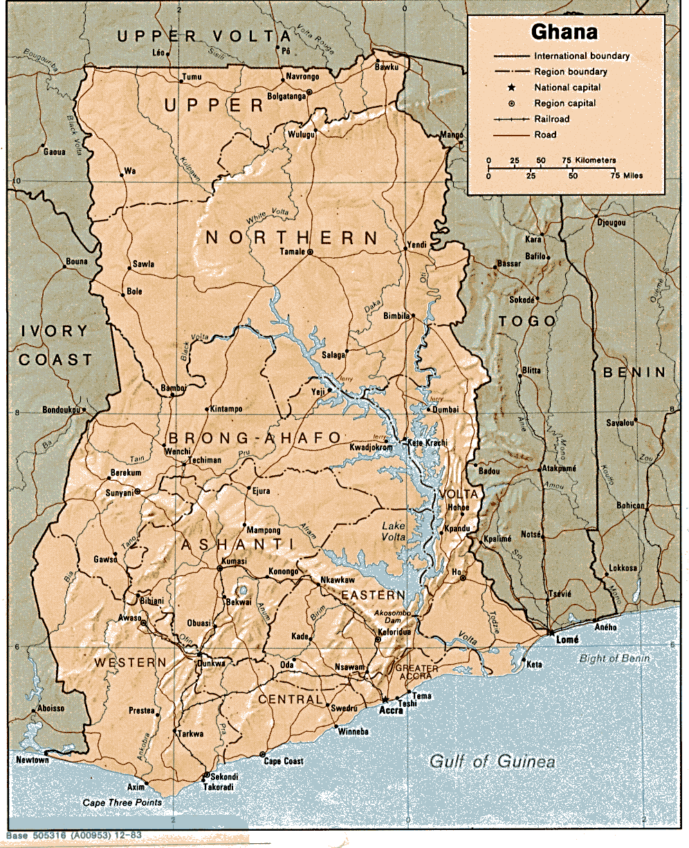
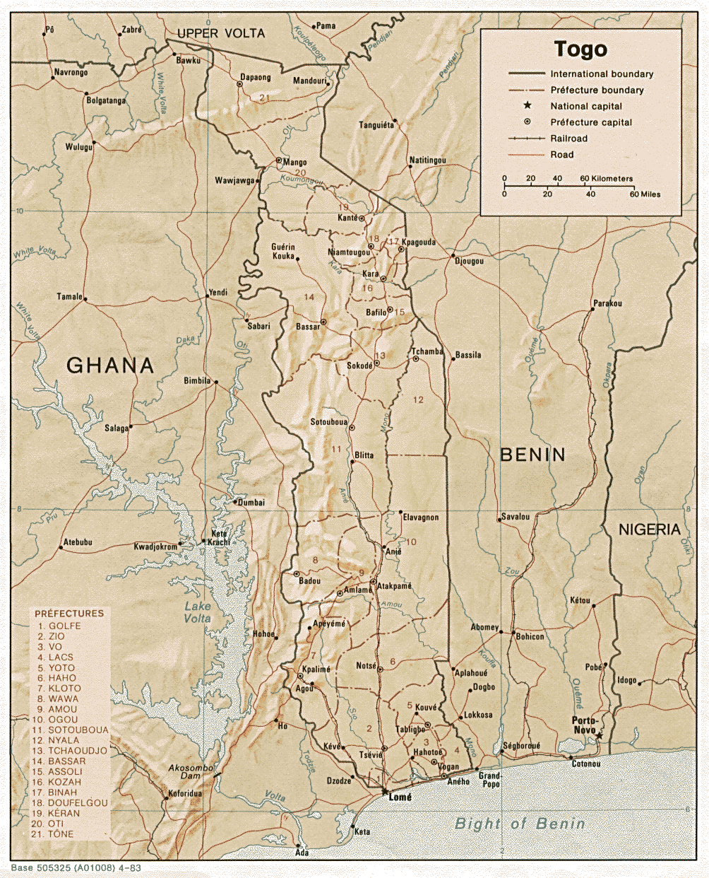
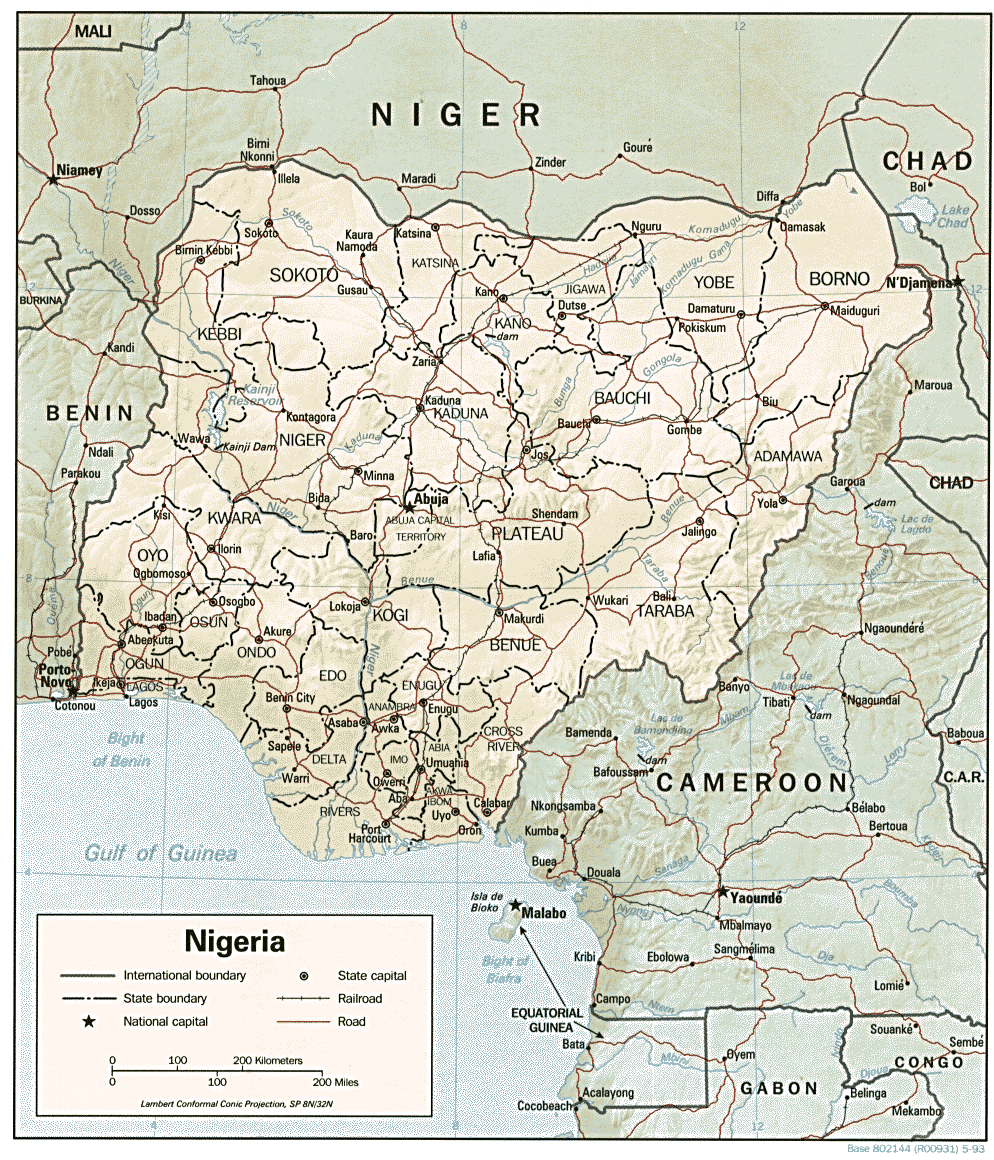
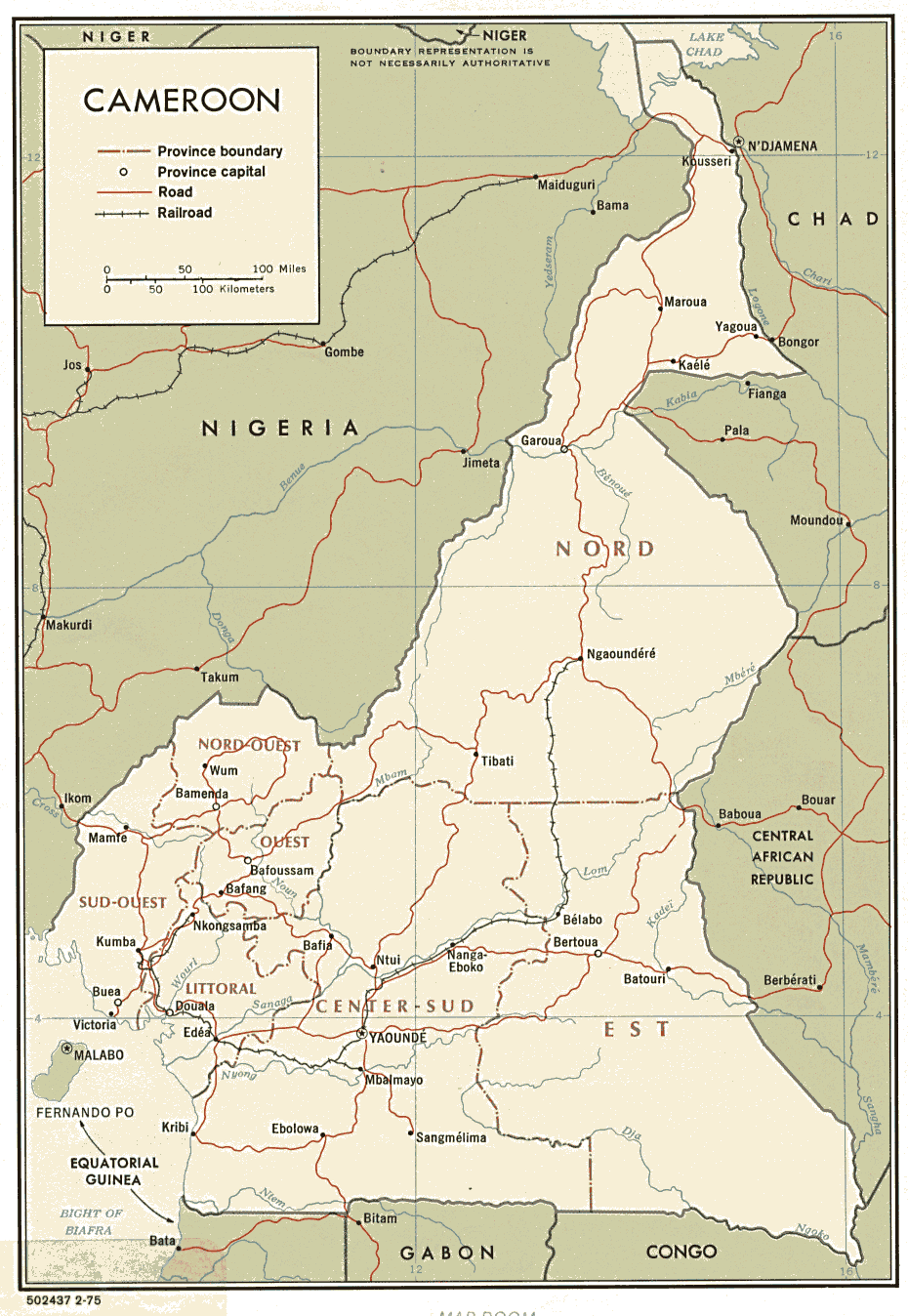
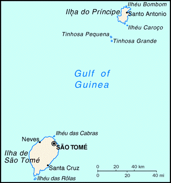
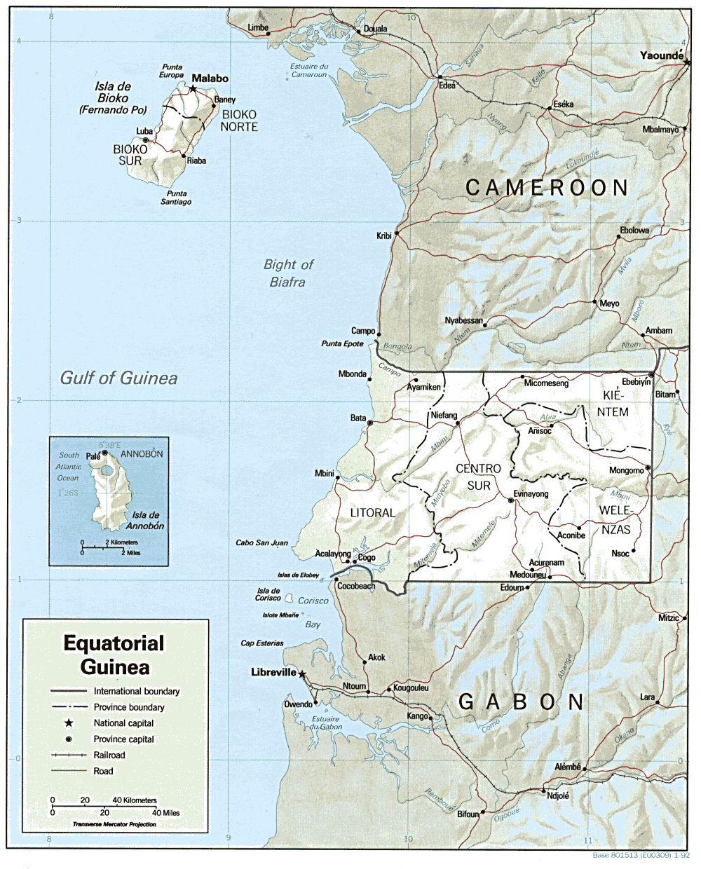
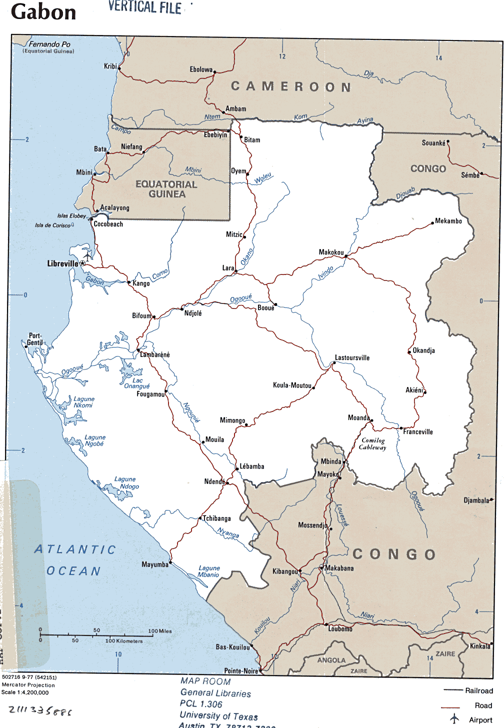
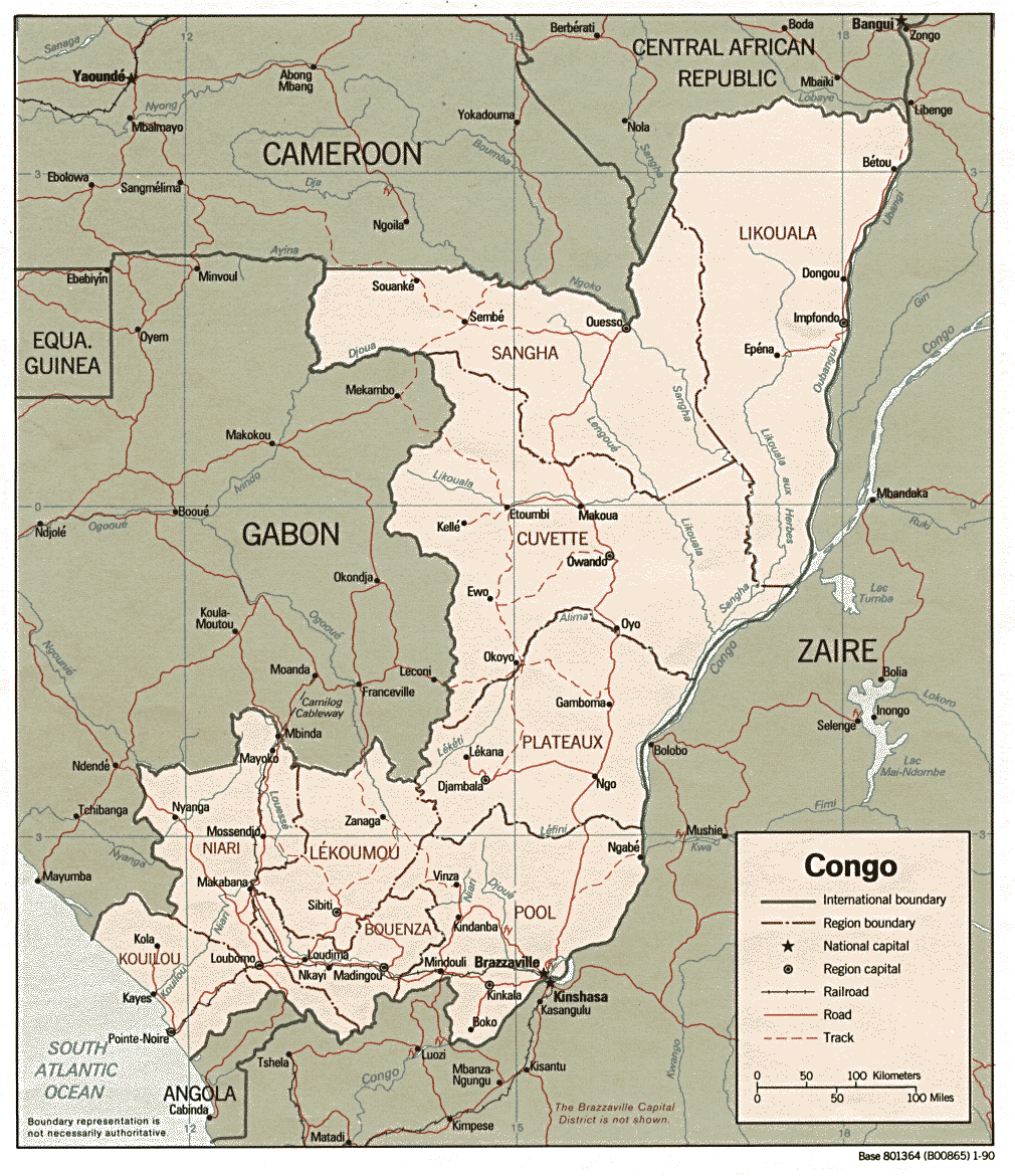
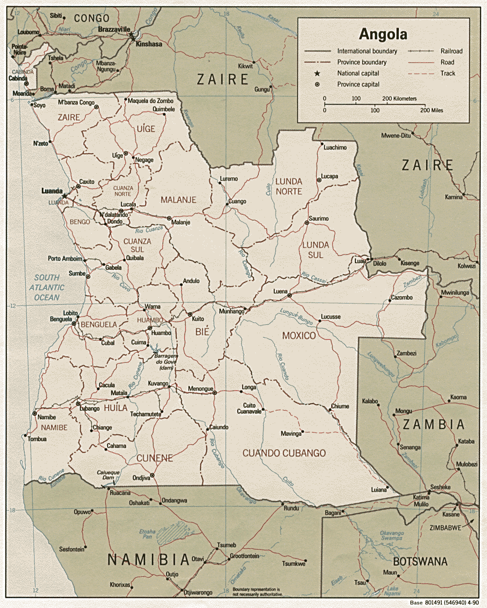
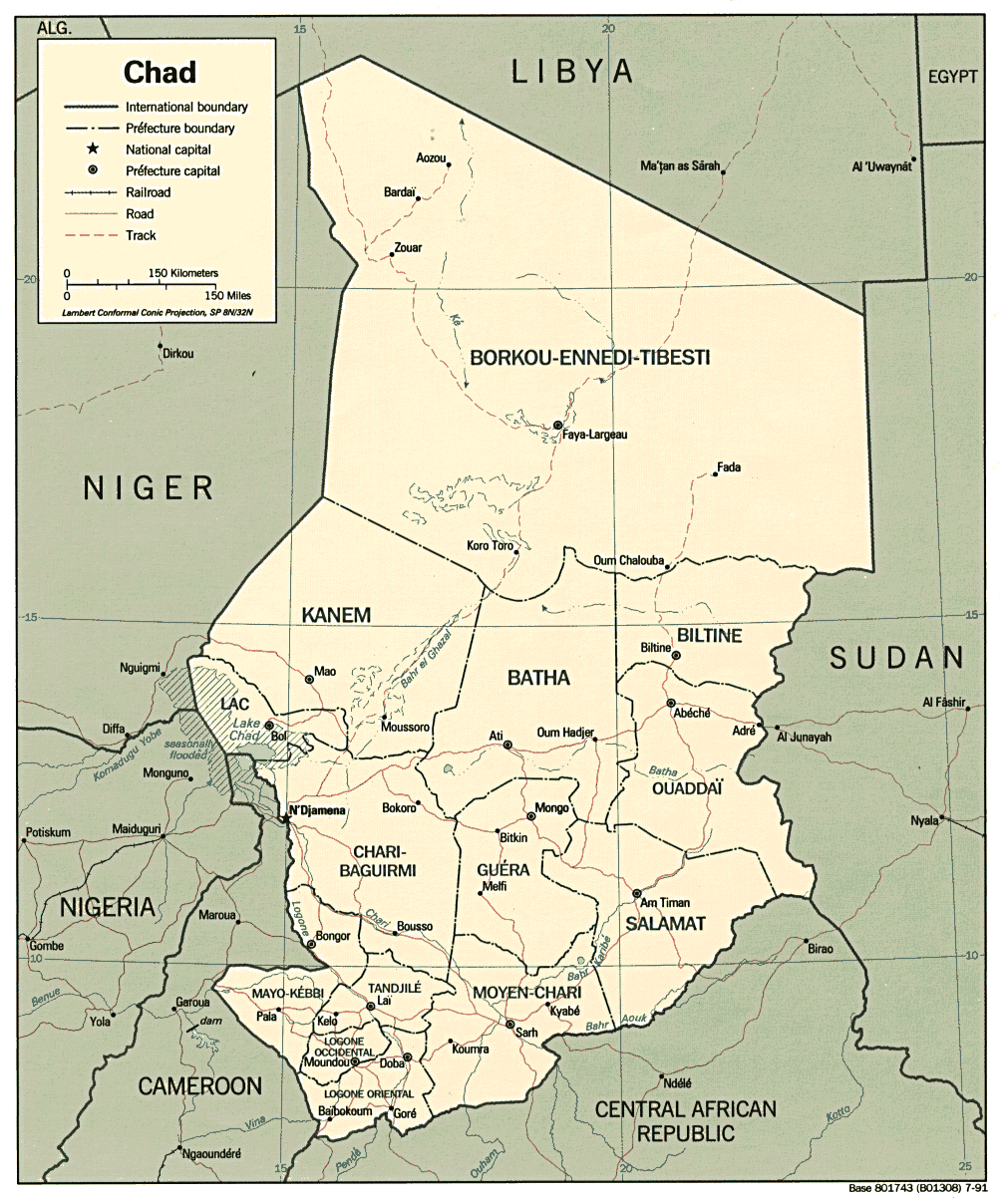
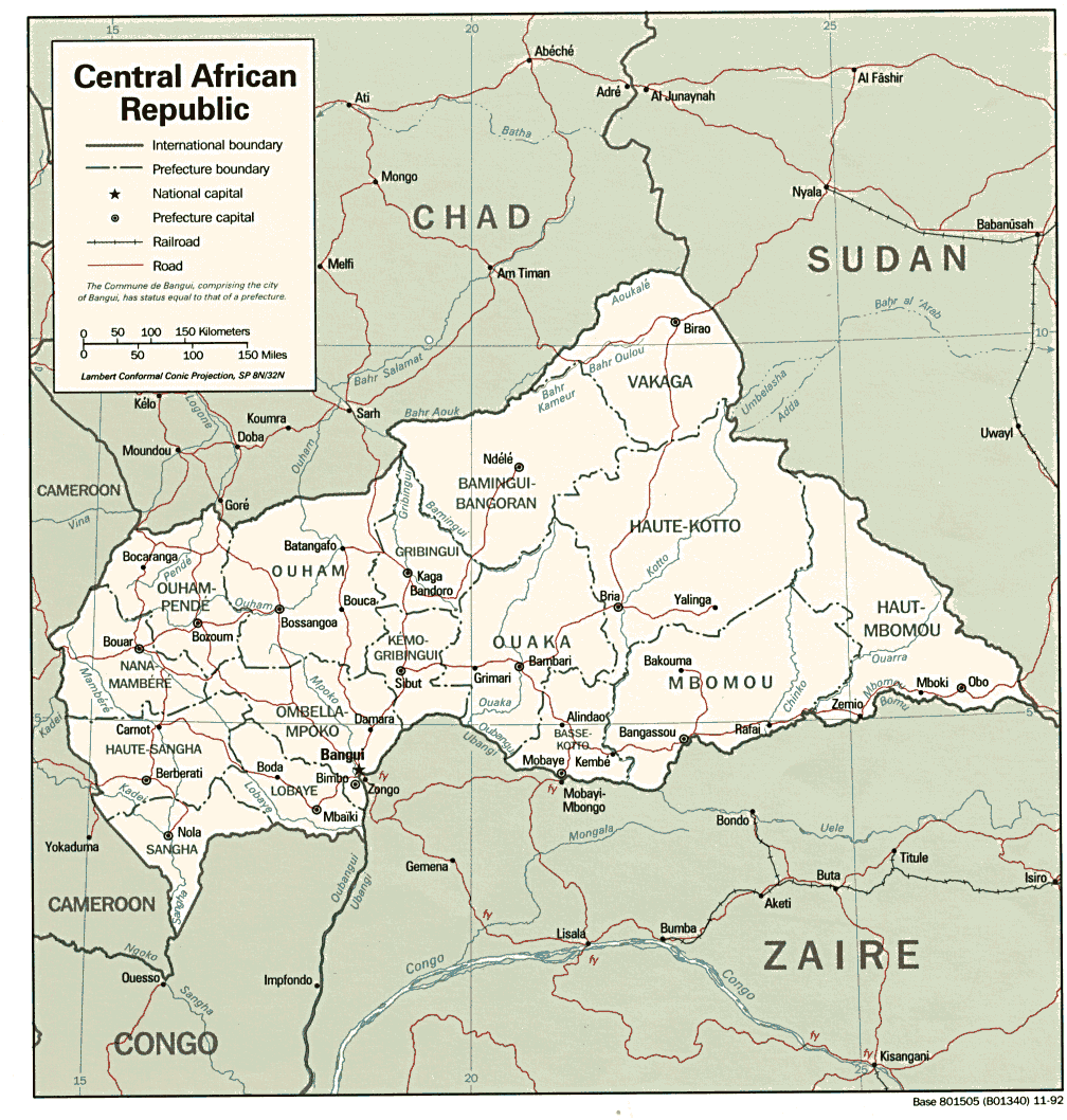
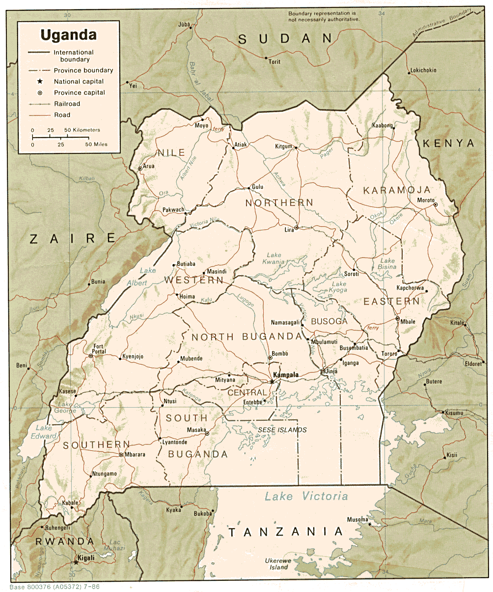
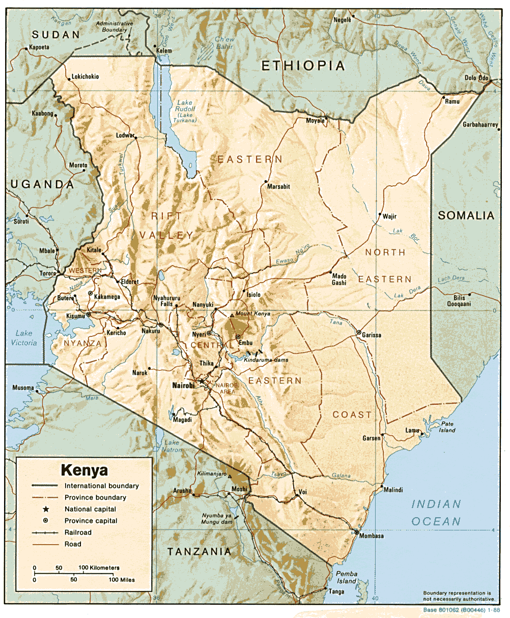
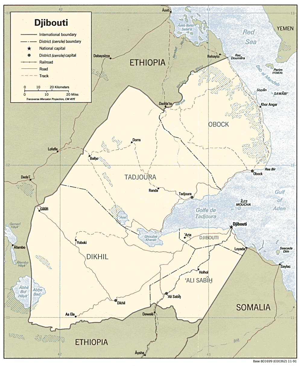
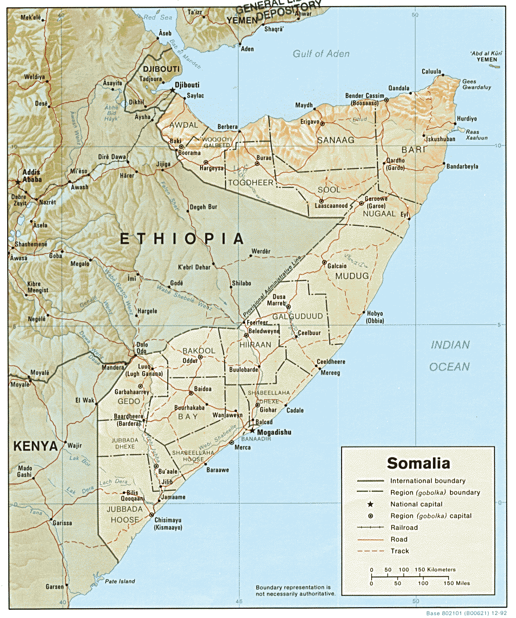
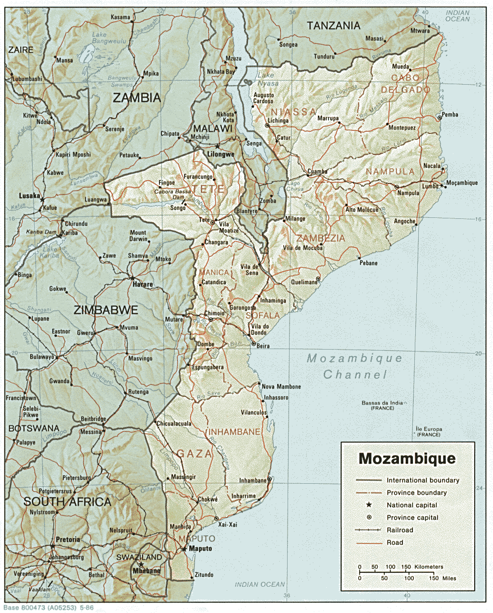
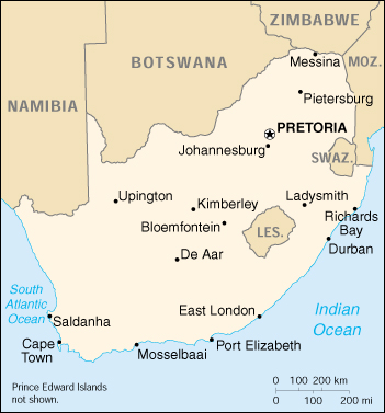
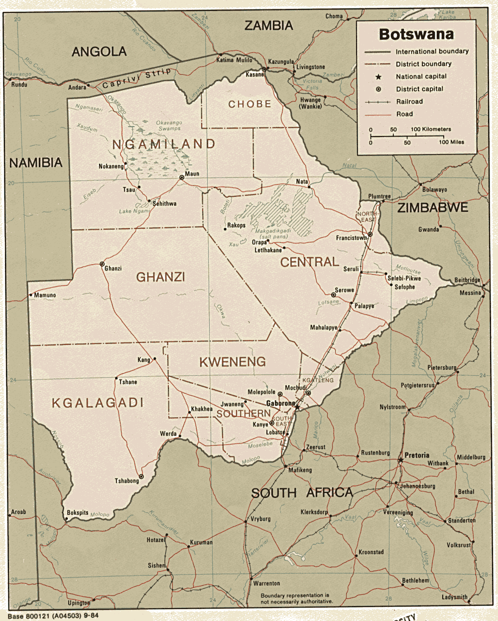
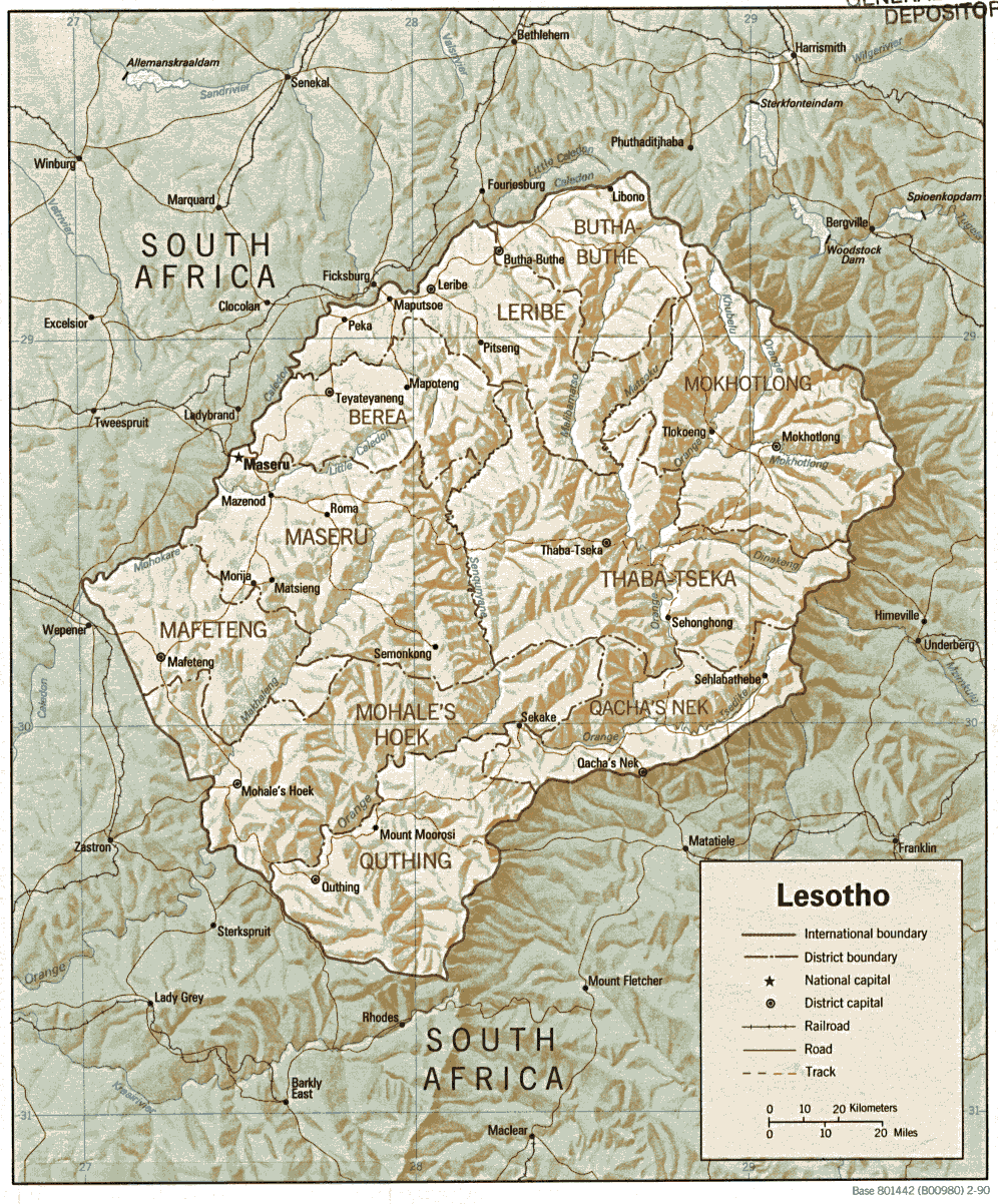
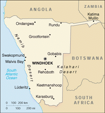
MAPS * North America, Central America, South America, Europe, Asia, Africa, Australia, Antarctica Books and resources to support the study of geography


THE DOMAIN OF GEOGRAPHY

What to study for geography?

  • Resource - Geography standards * include the study of maps, patterns of human settlement
  • Resource - Intepretation * of what geography targets
  • Resource - National Geography Content Standards * from ERIC
The Study of Teaching Maps

  • Resource - Outline maps of the world *
  • Resource - Regions * of the world by continents
  • Resource - Climate regions * of the world using Koppen's Climate Classification
  • Resource - Annual animated * precipitation in the world
  • Resource - Annual animated * air temperature in the world
  • Resource - Countries * of the world
  • Resource - Topographic maps * of the United States and how to read them (purchasing *)
  • Resource - Water resources * of the United States
  • Resource - Distance between two cities * on the globe
Areas, regions, places in general [World Climate Classifications *] (910.1)

  • Frigid Zones (910.11)
    • Tundra - arctic biome *
  • Temperate Zones (910.12)
    • Temperate grasslands *
    • Temperate Broadleaf Deciduous *
    • Temperate grasslands *
  • Torrid (Tropics) Zones (910.13)
    • Tropical Broadleaf Evergreen Forest - Rainforest *
    • Tropical - Rainforest * biomes (visual)
    • Tropical Savanna *
  • Land and Landforms (910.14)
    • Continents (Continental shelves) (910.141)
    • Islands (atolls, coral reefs) (910.142)
      • Islands of the world * - find any island by ocean location or alphabetic name
      • Coral Reefs
        • Resource -Coral reef life * and images *
    • Elevations (mountains, plateaus, hills, slopes) [images *] (910.143)
    • Depressions/Openings (canyons, chasms, gorges, gulches, ravines, valleys, caves, karsts )(910.144)
    • Plane regions (pampas, plains, steppes, tundras)(910.145)
      • Pampas
        • Resource - Pampas *
      • Tundras
        • Resource - Tundras *
        • Resource - How is the tundra * like a desert? (visual)
    • Coastal regions and shorelines (beaches **, deltas) (910.146)
    • Soil [images *] (910.148)
  • Regions by vegetation [World Climate Classifications *] (910.15)
    • Forests (910.152)
      • Resource - Boreal forest - Taiga biome *
      • Resource - Temperate Broadleaf Deciduous - biome *
      • Resource - Deciduous Forest - biome * (visual)
      • Resource - Tropical Broadleaf Evergreen Forest - Rainforest *
    • Grasslands (910.153)
      • Resource - Grasslands * biome (visual)
      • Resource - Temperate * grasslands
      • Resource - Tropical Savanna *
      • Resource - Savanna * biomes (visual)
    • Deserts (910.154)
      • Resource - Desert scrub biome *
      • Resource - North American deserts *
      • Resource - Desert biome *
      • Resource - How is the tundra * like a desert? (visual)
    • Swamps
      • Resource - Map of Crocodile Locations *
    • Marshes
      • Resource - salt marshes *
  • Air Water (910.16)
    • Atmosphere (910.161)
      • Resource - Annual animated * precipitation in the world
      • Resource - Annual animated * air temperature in the world
      • Resource - United States water resource * conditions - rainfall and drought
      • Resource - Climate regions * of the world using Koppen's Climate Classification
    • Oceans and Seas (910.162)
      • Floors of the ocean
        • Resource - Types of ocean regions *
        • Resource - Ocean life *
        • Resource - Physical features * of oceans
        • Resource - Profiles * of the oceans - visual
      • Atlantic Ocean (910.163)
        • Resource - Facts about and location of * the Atlantic Ocean (includes visual)
        • Resource - The Atlantic Ocean facts * and image
      • Arctic Ocean (910.1632)
        • Resource - Facts * about the Arctic Ocean
      • Pacific Ocean (910.164)
        • Resource - Facts * about the Pacific Ocean
      • Indian Ocean (910.165)
        • Resource - Facts * about the Indian Ocean
      • Antarctic Ocean (910.167)
    • Rivers, ponds, estuaries, lakes * (910.162)
      • Resource - estuaries *
  • Hemispheres (Dewey 910.181)


Historical Geography - Dewey 911


    Graphic Representations of the Earth
    and extra terrestrial places
    - Dewey 912

      MAP READING (912.014)


    • Map Scales, Symbols, Abbreviations (912.0148)
      • Calendars *
      • Resource - Create * your own online map
      • Resource - Topographic map symbols * of the United States
      • Resource - Latitude and longitude *
        • Resource - Prime meridian line * at Greenwich
        • Resource - * * Latitude and longitude of United States cities *
        • Resource - ** Latitude and longitude of any city * in the world
        • Lesson - 1 * - "Crack the Code" - latitude and longitude challenge
        • Resource - Outline maps of the world *
        • Lesson - 2 * - "Where Were the U. S. Presidents Born?"
        • Resource - Latitude - The Art and Science of Fifteenth Century Navigation *
        • Resource - Finding your way with a map and compass *
        • Resource - Distance between two cities * on the globe
        • Resource - Find your census address * in the United States
        • Resource - U.S. Gazetteer - Search for a place using the city and state name *
        • Resource - Topographic Maps of the United States *
        • Resource - Water symbols *
        • Resource - United States population * - includes latitude and longitude tool


    SPECIFIC CONTINENTS, COUNTRIES, LOCALITIES, LAND ATLASES (912.3-912.9)
    • Maps of EUROPE (Dewey 914)
    • Maps of ASIA * (Dewey 915)
      • Maps * of China
      • A map * of Thailand
      • Map of Singapore * (Malaysia)
    • Maps of AFRICA (Dewey 916)
      • Map * of Tunisia
      • Map * Libya
      • Map * of Egypt
      • Map * of Sudan
      • Map * of Eritrea
      • Map * of Ethiopia
      • Maps of Northwest Africa Coast
        • Map * of Morocco
        • Map * of Western Sahara
        • Map of the Canary Islands
      • Map * of Algeria
      • Maps of West Africa and Offshore
        • Map * of Mauritania
        • Map * of Mali
        • Map * of Niger
        • Map * of Burkina Faso
        • Map * of Senegal
        • Map * of Sierra Leone
        • Map * of Gambia
        • Map * of Guinea
        • Map * of Guinea Bissau
        • Map * of Cape Verde Islands
        • Map * of Liberia
        • Map * of Ivory Coast (Cote d'Ivoire)
        • Map * of Ghana
        • Map * of Togo
        • Map * of Benin
        • Map * of Nigeria
      • Maps of Central Africa and offshore
        • Map * of Cameroon
        • Map * of Sao Tome
        • Map * of Equatorial Guinea
        • Map * of Gabon
        • Map * of the Republic of the Congo
        • Map * of Angola
        • Map * of Chad
        • Map * of Central Africa
        • Map * of Zaire
        • Map * of Rwanda and Burundi
        • Map * of Uganda
        • Map * of Kenya
        • Map * of Djibouti
        • Map * of Somalia
        • Map * of Tanzania
        • Map * of Mozambique
      • Maps of Southern Africa
        • Map * of South Africa
        • Map * of Botswana
        • Map * of Swaziland
        • Map * of Lesotho
        • Map * of Namibia
        • Map * of Zimbabwe
        • Map * of Zambia
        • Map * of Malawi
      • Maps of the South Indian Ocean
        • Map * of Madagascar
        • Map * of Comoros
        • Map * of Seychelles
        • Map * of Reunion
        • Map * of Mauritius
    • Maps of MIDDLE AMERICA (Dewey 917)
    • Maps of NORTH AMERICA (Dewey 917)
      • Maps of Canada
      • Maps of the United States (Dewey 917)
        • Maps anywhere in the United States
    • Maps of SOUTH AMERICA (Dewey 918)
    • Other Areas (Dewey 919)


    Using games with geography

    • Game - GeoNet * - an online geography trivia game


    Geography of & travel in ancient world * - Dewey 913
      Overall Resources
      • Egyptology * resources
      • Seven Wonders of the World *
      • Discovering Ancient Egypt * (see: 962.1)(see: 916.21)
      • Temple of Luxor * on the Nile River in Egypt (see: 962.1)(see: 916.21)
      • Flags of the world's nations


    Educator is the recipient of the Miss Rumphius Award *


    As of December 4, 2003, you are visitor to Inquiry Unlimited.
    Last modified: September 19, 2005.

    Eureka! Inquiry Unlimited is a work in progress. Comments may be sent to webmaster@inquiryunlimited.org
    Copyright © 1997 Marjorie Duby, practitioner formerly sited at Joseph Lee School, Boston, MA.
    All Rights Reserved.

    Unless otherwise indicated, this website and its contents are the property of Inquiry Unlimited and are protected, without limitation pursuant to United States and foreign copyright laws. All rights reserved.
    Disclaimer: Inquiry Unlimited
    * attempts to provide appropriate, informative educational links. We check and update links frequently. We cannot be responsible for the content, use of, or quality of materials on any website other than our own. To the best of our knowledge, graphics on this site are public domain. If you find otherwise, please notify us and we will remove them immediately.